National Data Sources and Services
The United States Census Bureau is one of the world's largest sources of data and analysis. In fact, the basic enumeration conducted every 10 years is required by the U.S. Constitution (Article 1, section 2). Census Bureau information includes both data from its decennial enumeration, as well as various data estimates, analyses, and reports. For a summary of the Census Bureau data tools, click here.
An important initiative of the US Census Bureau is the American Community Survey which samples 3 million households annually to provide updates to the 10-year enumeration. Currently, the American Community Survey provides estimates for the nation, states, and individual communities with a population of 65,000 or more (Monroe, Ontario, and Wayne counties, as well as the City of Rochester).
There are various public and private services that utilize Census information to provide useful analysis, reports, and maps. Following are some particularly useful sources.
The Social Explorer provides web-based maps illustrating a wide range of demographics down to the census tract level.
City Data.com includes a wealth of information, from statistics to photographs, for U.S. cities and their surrounding areas. Many of the cities in our region are included.
CensusScope provides quick charts, maps, and rankings for the nation, states, metro areas, and counties. The CensusReporter is a shortcut to profile by place and explore by issue area.
The Social Capital Atlas and the Opportunity Atlas are interactive maps that reflect prospects for upward mobility in counties, metropolitan areas, and neighborhoods across the US.
The Educational Opportunity Project at Stanford University is a great resources for interactive data tools and research, including the 2019 to 2023 Education Recovery Explorer.
See New York Times articles for approachable framing: See How Your District is Recovering from the Pandemic and How Effective is Your School District
The Education Data Initiative is a wealth of information on a range of topics including financial aid statistics, student loan debt, and education spending statistics.
Independent research center covering a wide range of topics related to children and youth - Child Trends.
Social Vulnerability Index provides county- and census tract-level data about the vulnerability of a population to public health-related disasters.
National Equity Atlas - Racial Equity Index provides a snapshot of overall equity outcomes for cities, counties, regions, and states.
National Endowment for the Arts Data Profile Series provides state-level estimates of arts and culture including value added (share of the economy), employment in arts and culture industry and associated compensation: State-Level Estimates of the Arts’ Economic Value and Employment (2001-2021).
Harvard University has a center dedicated to housing studies that includes interactive data tools, the Joint Center for Housing Studies (JCHS).
For information about urban area zoning codes, explore the National Zoning Atlas and its interactive map, intended to demystify, digitize, and democratize.
The Federal Financial Institutions Examinations Council (FFIEC) has a Geocoder that has information on mortgage, business, and farm loan applications as well as Census demographic information about a particular census tract, including income, population, and housing data. Don’t be discouraged by the initial map, just type in an address and data will appear!
Local Information Sources
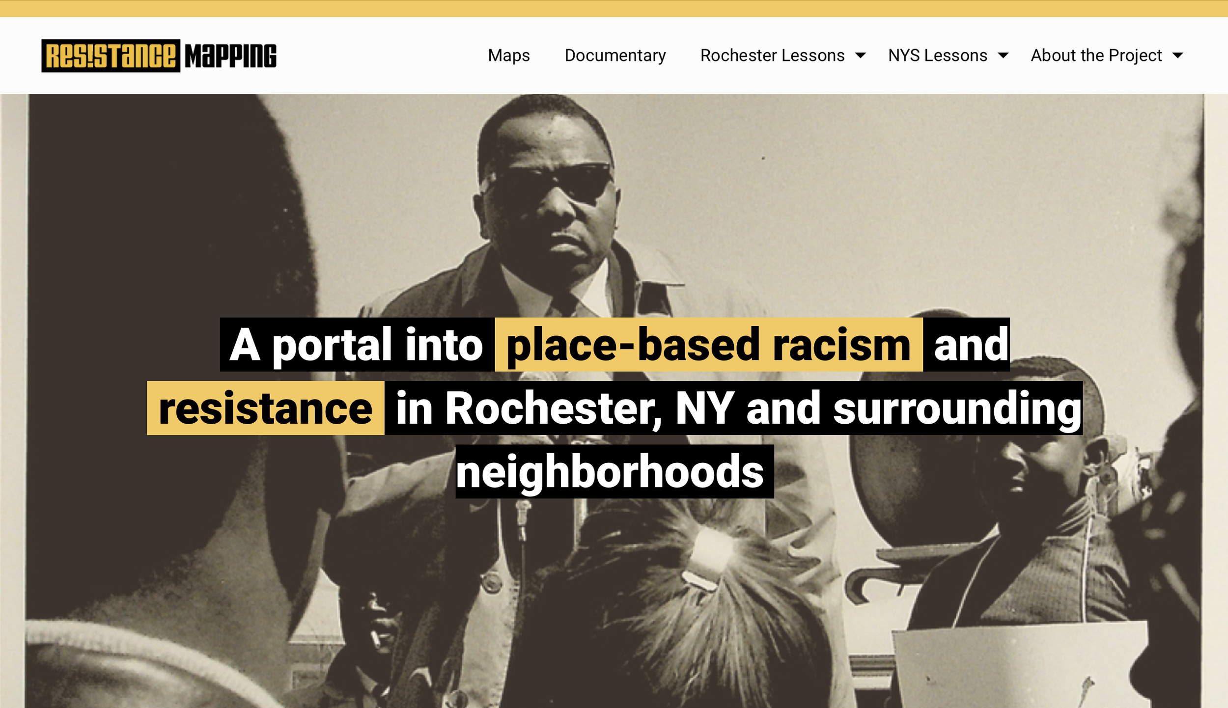
Resistance Mapping: a portal into place-based racism and resistance in Rochester, NY and surrounding neighborhoods. It was created by Our Local History, The Humanities, Computing, and Design Program at the Rochester Institute of Technology, and the Digital Scholarship at River Campus Libraries, University of Rochester.
Local advocacy organization Reconnect Rochester recommends some maps, data, and tools related to transportation.
The Genesee-Finger Lakes Regional Planning Council maintains a data center with access to maps, reports and other valuable data items. Data includes both historical information and forecasts of future demographic changes.
The Rochester-based Center for Governmental Research is a leading public policy research organization. CGR provides access to a variety of research reports and has been a key partner in our collective impact initiatives.
Most local media organizations maintain websites with useful news and information. Of particular note is the Democrat and Chronicle's NYDatabases.com, a repository for regional data, maps, and reports.
The Greater Rochester Environmental Community Hub, a project of Rochester Ecology Partners, contains a directory of organizations and resources of organizations dedicated to community and environmental well-being for all.

